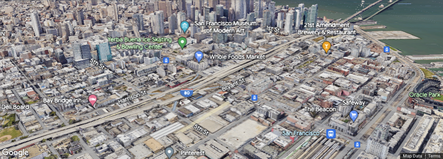
Unfortunately, you cannot make the Google Maps JavaScript API have a 3D option. An alternative is to use the setTilt(number) function as explained in the Google Maps Documentation - Map Types.
Enabling and Disabling 45° Imagery
You can disable 45° imagery by calling setTilt(0) on the Map object. To enable 45° imagery for supported map types, call setTilt(45). You can also use a number other than 45 degress if you wanted to.
⭑ The Map's getTilt() method will always reflect the current tilt being shown on the map; if you set a tilt on a map and then later remove that tilt (by zooming the map out, for example), the map's getTilt() method will return 0.
The following example displays a 45° view of downtown Portland, OR:
function initMap() {
  var map = new google.maps.Map(document.getElementById('map'), {
    center: {lat: 36.964, lng: -122.015},
    zoom: 18,
    mapTypeId: 'satellite'
  });
  map.setTilt(45);
}
View Example
Rotating 45° Imagery
The 45° imagery actually consists of a collection of images for each cardinal direction (North, South, East, West). Once your map is displaying 45° imagery, you can orient the imagery towards one of its cardinal directions by calling setHeading() on the Map object, passing a number value expressed as degrees from North.
The following example shows an aerial map and auto-rotates the map every 3 seconds when the button is clicked:
var map;

function initMap() {
  map = new google.maps.Map(document.getElementById('map'), {
    center: {lat: 45.518, lng: -122.672},
    zoom: 18,
    mapTypeId: 'satellite',
    heading: 90,
    tilt: 45
  });
}

function rotate90() {
  var heading = map.getHeading() || 0;
  map.setHeading(heading + 90);
}

function autoRotate() {
  // Determine if we're showing aerial imagery.
  if (map.getTilt() !== 0) {
    window.setInterval(rotate90, 3000);
  }
}
View Example


