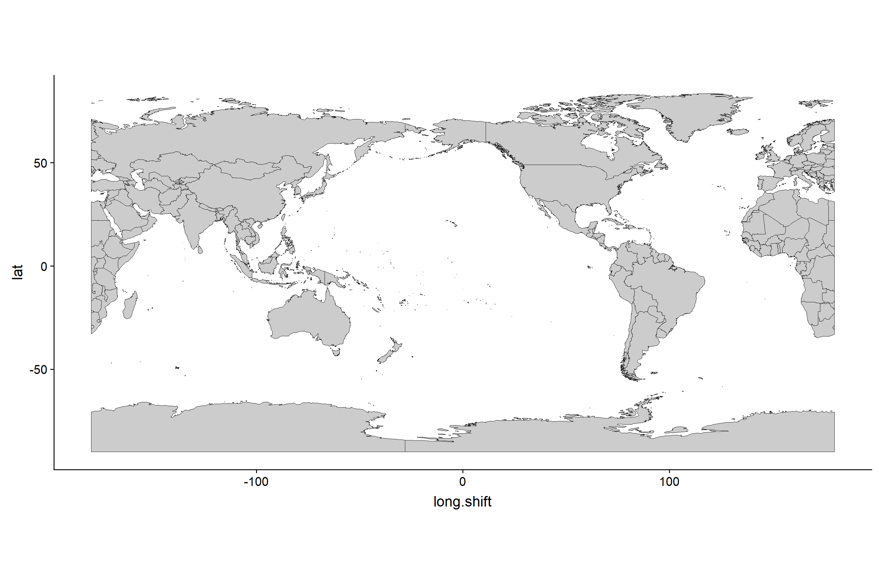
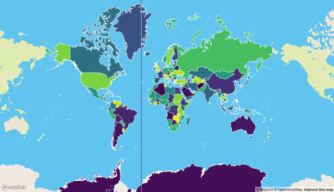
I have a world country dataset, and would like to split it on the prime meridian, and re-center the data to focus on the Pacific.
I am trying to do this using Simple Features (sf), but am coming across an object-type issue I can't solve.
In order to split the data I tried the following:
   st_wg84 <- "+proj=longlat +datum=WGS84 +no_defs +ellps=WGS84 +towgs84=0,0,0"

   # world country layer
   sfpolys <- rnaturalearth::ne_countries(scale = "medium", returnclass = "sf")
   %>% st_sfc(crs = st_wg84 )

   # shift central/prime meridian towards west
   shift <- 152

   # create "split line" to split worldmap (split at Prime Meridian)
   split.line <- st_linestring(
     x = cbind(matrix(shift-180, 181, 1), matrix(-90:90,181,1))
    ) %>%
     st_sfc(crs=st_wg84)

   # split country polygons along prime meridian
   sfpolys.split <- lwgeom::st_split(sfpolys, split.line)
Which works, resulting in a GEOMETRYCOLLECTION object, split along the desired line, containing the same number of features as the ingoing MULTIPOLYGON.
Next, I need to shift the coordinates in order to re-center the map, and to do this I must convert the polygon coordinates into a data frame.
    countries <- data.table(map_data(as(sfpolys.split, "Spatial")))

    # Shift coordinates to fall correctly on shifted map
    countries$long.shift <- countries$long + shift
    countries$long.shift <- ifelse(countries$long.shift > 180,
    countries$long.shift - 360, countries$long.shift)

    # plot shifted map
    ggplot() +
      geom_polygon(data=countries,
        aes(x=long.shift, y=lat, group=group),
        colour="black", fill="gray80", size = 0.25) +
      coord_equal()
However this conversion does not work with a GEOMETRYCOLLECTION, but it does with a MULTIPOLYGON.
So in order to get back to a MULTIPOLYGON I tried the following first:
sfpolys.split <- sfpolys.split %>% st_cast("MULTIPOLYGON")
But this results in the following error: "Error in m[1, ] : incorrect number of dimensions"
then I tried:
sfpolys.split <- sfpolys.split %>% st_collection_extract(type="POLYGON")
But this gives a POLYGON object, which I can't figure out how to group correctly into a MULTIPOLYGON.
Does anyone know either a better way of conducting this split and shift, or a simple way to get from a GEOMETRYCOLLECTION to a MULTIPOLYGON?
This is my desired result:


st_collection_extract()which might help. – Lithotrityst_collection_extractwill only extract one of "POLYGON", "POINT", "LINESTRING". Infuriatingly, it doesn't extract any other type of geometry. – Rainproof