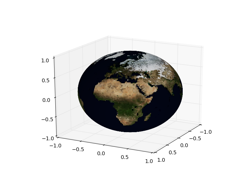
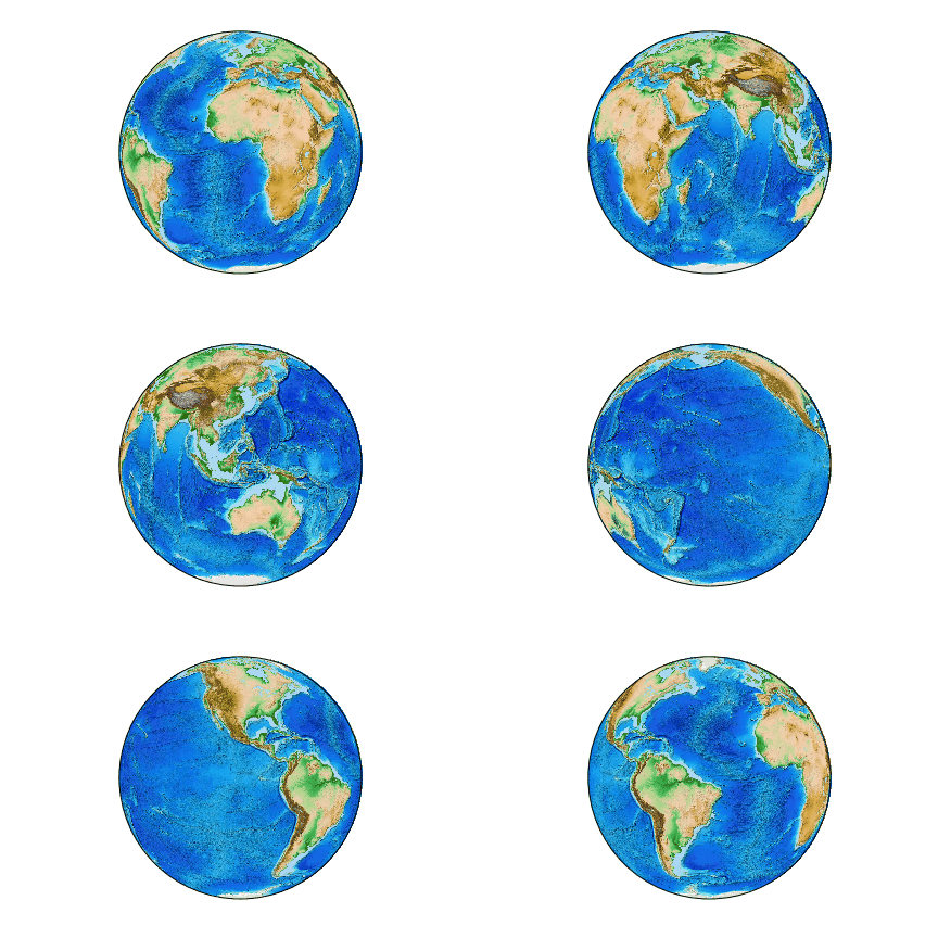
I know we can create simple 3-Dimensional spheres using matplotlib, an example of such a sphere is included in the documentation.
Now, we also have a warp method as part of the matplotlib module, an example of it's usage is here .
To warp a cylindrical image to the sphere. Is it possible to combine these methods to create a 3D rotatable earth? Unless my way of thinking about this problem is way off it seems that to be able to do this you would have to take the pixel data of the image and then plot every pixel using the sin and cosine expressions along the surface of the 3D sphere being created in the first example. Some examples of these cylindrical maps can be found here
I know alternative ways to do this are through maya and blender, but I am attempting to stay within matplotlib to do this, as I want to create this plot and then be able to plot geospatial data to the surface using an array of data.


ax.set_aspect('equal')– Jezreel