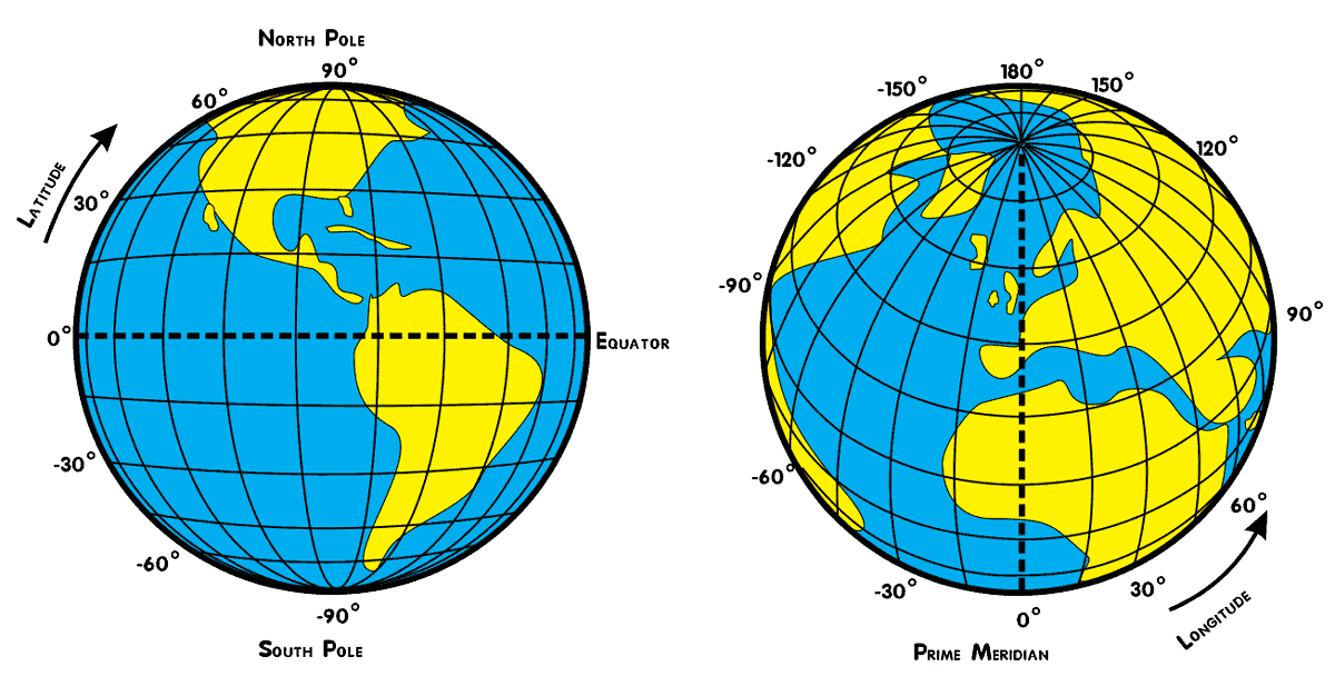
Original poster said:
"So I have 50.0452345 (x) and 4.3242234 (y) and I want to know x + 500 meters..."
I will assume the units of the x and y values he gave there were in meters (and not degrees Longitude, Latitude). If so then he is stating measurements to 0.1 micrometer, so I will assume he needs similar accuracy for the translated output. I also will assume by "+500 meters" etc. he meant
the direction to be due North-South and due East-West.
He refers to a reference point:
"2 new latitudes based on a coordinate";
but he did not give the Longitude and Latitude,
so to explain the procedure concretely I will give
the Latitudes and Longitudes for the corners of the
500 meter box he requested around the point
[30 degrees Longitude,30 degrees Latitude].
The exact solution on the surface of the GRS80 Ellipsoid is
given with the following set of functions
(I wrote these for the free-open-source-mac-pc math program called "PARI"
which allows any number of digits precision to be setup):
\\=======Arc lengths along Latitude and Longitude and the respective scales:
dms(u)=[truncate(u),truncate((u-truncate(u))*60),((u-truncate(u))*60-truncate((u-truncate(u))*60))*60];
SpinEarthRadiansPerSec=7.292115e-5;\
GMearth=3986005e8;\
J2earth=108263e-8;\
re=6378137;\
ecc=solve(ecc=.0001,.9999,eccp=ecc/sqrt(1-ecc^2);qecc=(1+3/eccp^2)*atan(eccp)-3/eccp;ecc^2-(3*J2earth+4/15*SpinEarthRadiansPerSec^2*re^3/GMearth*ecc^3/qecc));\
e2=ecc^2;\
b2=1-e2;\
b=sqrt(b2);\
fl=1-b;\
rfl=1/fl;\
U0=GMearth/ecc/re*atan(eccp)+1/3*SpinEarthRadiansPerSec^2*re^2;\
HeightAboveEllipsoid=0;\
reh=re+HeightAboveEllipsoid;\
longscale(lat)=reh*Pi/648000/sqrt(1+b2*(tan(lat))^2);
latscale(lat)=reh*b*Pi/648000/(1-e2*(sin(lat))^2)^(3/2);
longarc(lat,long1,long2)=longscale(lat)*648000/Pi*(long2-long1);
latarc(lat1,lat2)=(intnum(th=lat1,lat2,sqrt(1-e2*(sin(th))^2))+e2/2*sin(2*lat1)/sqrt(1-e2*(sin(lat1))^2)-e2/2*sin(2*lat2)/sqrt(1-e2*(sin(lat2))^2))*reh;
\\=======
I then plugged the reference point [30,30]
into those functions at the PARI command prompt
and had PARI solve for the point +/- 500 meters away
from it, giving the two new Longitudes and
two new Latitudes that the original poster asked for.
Here is the input and output showing that:
? dms(solve(x=29,31,longarc(30*Pi/180,30*Pi/180,x*Pi/180)+500))
cpu time = 1 ms, real time = 1 ms.
%1172 = [29, 59, 41.3444979398934670450280297216509190843055]
? dms(solve(x=29,31,longarc(30*Pi/180,30*Pi/180,x*Pi/180)-500))
cpu time = 1 ms, real time = 1 ms.
%1173 = [30, 0, 18.6555020601065329549719702783490809156945]
? dms(solve(x=29,31,latarc(30*Pi/180,x*Pi/180)+500))
cpu time = 1,357 ms, real time = 1,358 ms.
%1174 = [29, 59, 43.7621925447500548285775757329518579545513]
? dms(solve(x=29,31,latarc(30*Pi/180,x*Pi/180)-500))
cpu time = 1,365 ms, real time = 1,368 ms.
%1175 = [30, 0, 16.2377963202802863245716034907838199823349]
?

