To change raster values under SpatialPoints you can simply use [ .
r <- raster(system.file("external/test.grd", package="raster"))
rTp <- rasterToPoints(r, spatial = T)

set.seed(666)
rTpS <- rTp[sample(1:length(rTp), 500),]
plot(r)
plot(rTpS, add = TRUE, pch = ".")
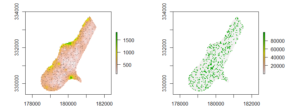
Now, the raster values beneath the spatial points are changed like this:
r1 <- r
r1[rTpS] <- 99999
plot(r1)
Raster with SpatialPoints (left) and raster with changed values (right):

Thus, I assumed that polygons work the same way. Therefore generate some polygons from this raster data set:
rst <- as.integer(stretch(r, 0, 10))
rTpol <- rasterToPolygons(rst, dissolve = T)
rTpol <- rTpol[rTpol$layer > 3,]

plot(r)
plot(rTpol, add = T)

rst[rTpol[,]] <- 100
plot(rst)

# also tried
# rst[rTpol] <- 100
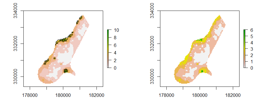
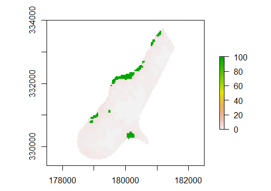
However, when i Try to change the raster values below some SpatialPolygons, somehow the ID (or something) of the polygons. Yet, it should be 100.
Raster with SpatialPolygons (left) and raster with strangely changed values (right):

Therefore, my question is how to change raster values within polygons.

