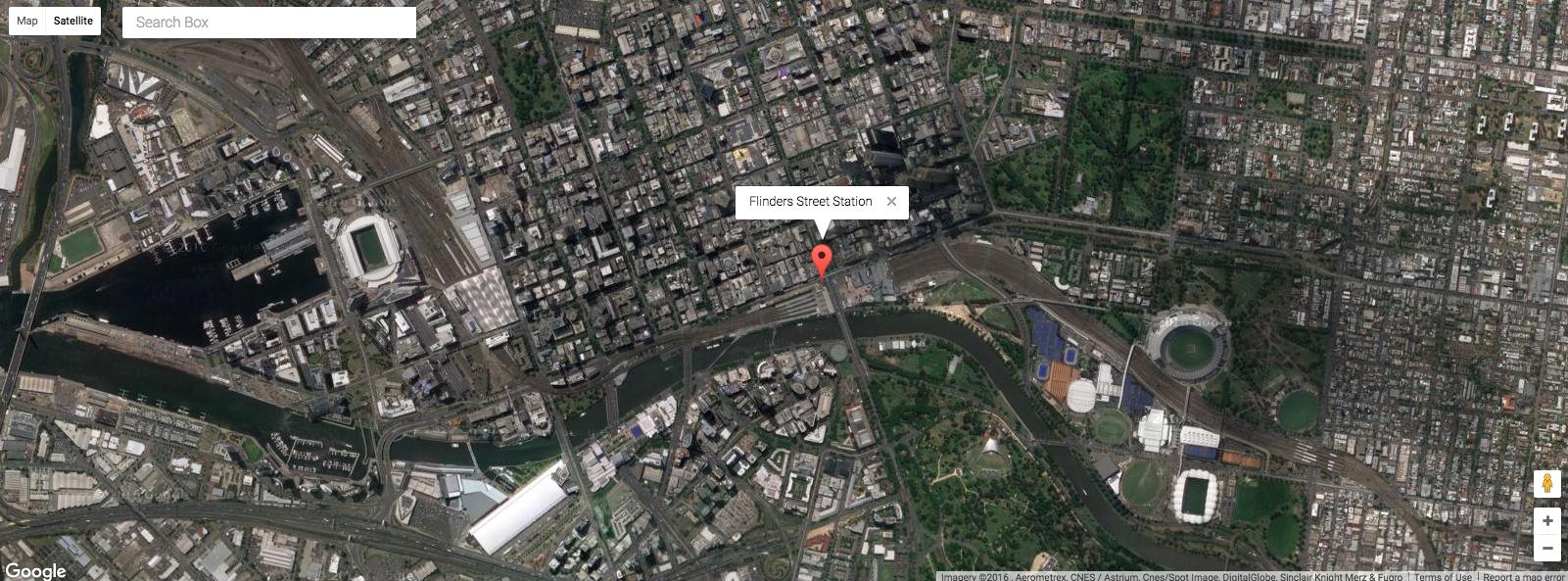
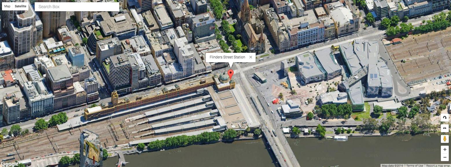
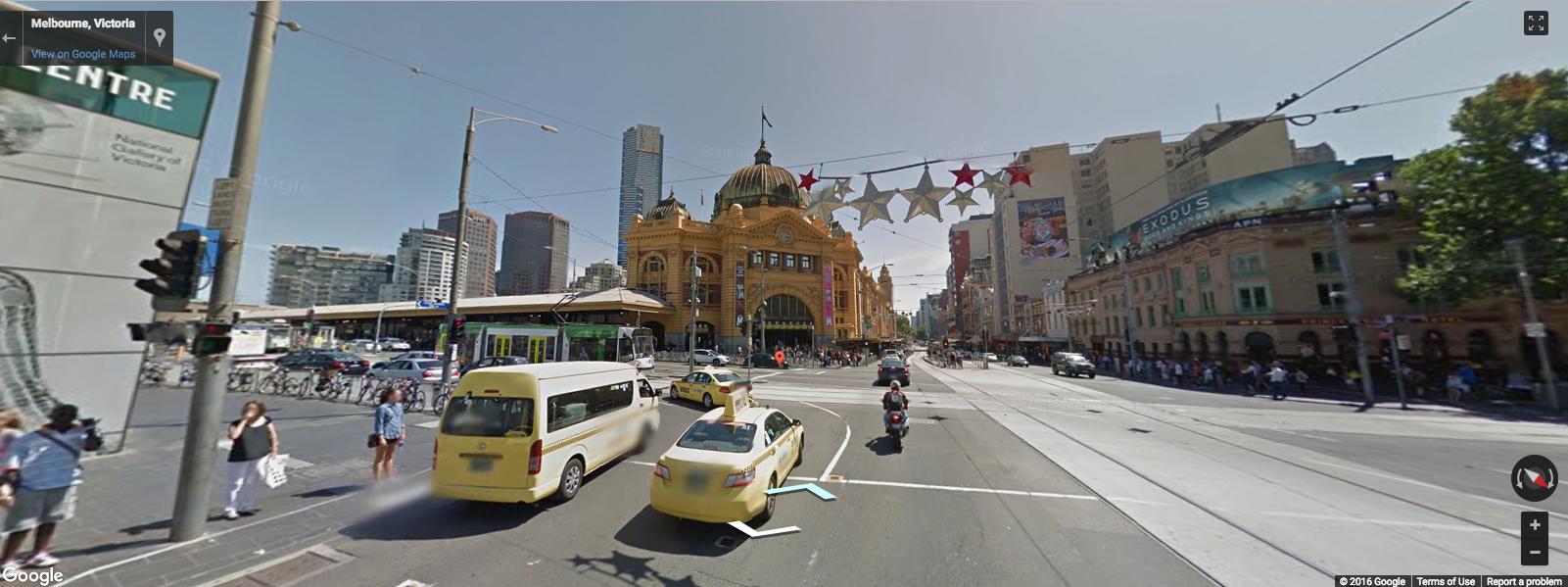
There is a very nice interface to google earth images available via ggmap. For example:
ggmap::get_map(location = c(lon = -95.3632715, lat = 29.7632836),
               maptype ="satellite",zoom=20)
will return a satellite map image from Google Maps/Earth. On Google Maps website if you zoom a bit more, it switches to streetview. Is there a similar way from R to get the streetview images?
There does seem to be an API, but can't find anything analogous to the ggmap interface in R.


ggmapis useful because you can add to the map, but streetview provides an image that you can't really plot on top of. If an answer doesn't come up, I'd consider writing the function to access the API. – Nostrilearthtonespackage, I assume you'll want a static image? – Theriault